Earthquake monitoring
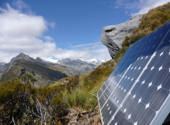
The goal of monitoring earthquakes is to understand what has happened and provide forecasts of possible future seismic activity so that appropriate steps can be taken to reduce the risk to lives and property.
Monitoring earthquakes
We monitor earthquakes by measuring the seismic waves they generate. Seismic waves are generated when the two sides of a fault rapidly slip past each other. Measuring these waves help us determine the type of earthquake, its origin, and its strength/intensity. Many faults do not break the surface in an earthquake, so analysing seismic waves helps us to 'see' where the faults are.
-
Types of seismic waves
An earthquake produces three kinds of waves that travel through the Earth’s crust.
- P-waves are primary waves and are the first waves to arrive. They are also called sound or compression waves since they are often heard rather than felt. They travel at 4–8 km/sec (14,000–28,000 km/h) in the Earth’s crust. They do not generally cause a lot of damage except in the biggest earthquakes.
- S-waves are secondary waves and are the second waves to arrive, traveling at 2.5–4 km/sec (9000–14,000 km/h). They pack a bigger punch because they are bigger and move at right angles to the direction of travel. Their side-to-side motion (like a snake wriggling) is what causes the most damage to structures. However, they cannot travel through liquids because liquids have no shear strength.
- Surface waves travel around the surface layers of the earth and are the slowest of the earthquake waves. They can travel around the whole earth from large earthquakes many times before they become too small to record on seismographs.
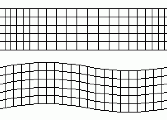
Primary or P waves (on top) and secondary or S waves (on bottom)
Image courtesy of Actualist, Wikipedia Books
Seismographs
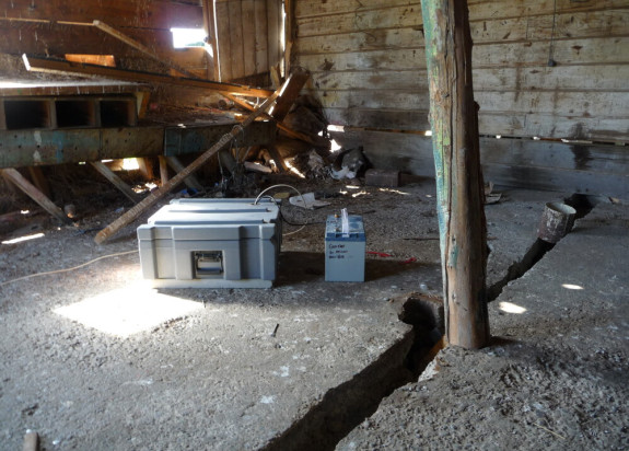
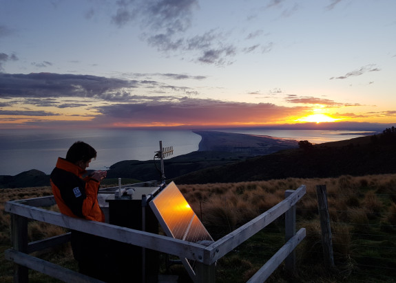
A seismograph is an instrument for measuring seismic waves. They are held in a very solid position, either on bedrock or a concrete base. The seismometer itself consists of a frame and a mass that can move relative to it. When the ground shakes, the frame vibrates, but the mass tends not to move, due to inertia. The difference in movement between the frame and the mass is amplified and recorded electronically. Seismograph sites need to be on hard rock and well away from traffic and other sources of artificial ground noise.
Determining magnitude and location
A network of seismometers is used to calculate the magnitude and source of an earthquake in three dimensions. Seismologists use the difference in arrival time between P and S waves to calculate the distance between the earthquake source and the recording instrument (seismograph).
Scientists need recordings from at least three seismographs to accurately locate the depth and magnitude of an earthquake.
How does GeoNet get accurate readings of earthquake locations, size and depth? – GeoNet's Ask An Expert: Have you ever wondered how we get accurate readings of earthquake locations, size and depth? In our this video, John Ristau answers this for you.
How does GeoNet get accurate readings of earthquake locations, size and depth?
New Zealand’s seismograph network
There are hundreds of broadband seismometers located across New Zealand to help rapidly identify and measure our earthquakes. GNS Science, through the GeoNet programme, owns and operates the national seismograph network.
A country-wide network of seismic stations transmit data to GeoNet’s data management centres located in Avalon (Lower Hutt) and Hamilton. They are analysed automatically, and by analysts in the National Geohazards Monitoring Centre (NGMC) for possible earthquakes. You can check for earthquakes recorded by New Zealand's seismographs on Geonet.
Continuous GPS
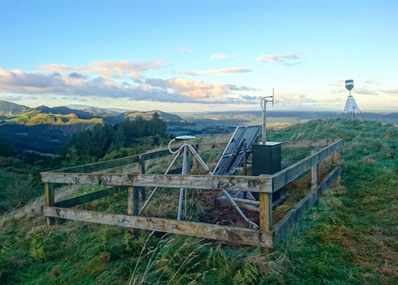
Continuous GPS stations allow us to monitor slower movements of the earth, like ground deformation and slow slip events. Over the past decade, GNS Science and Land Information New Zealand (LINZ) installed GPS/Global Navigation Satellite System (GNSS) instruments at several permanent sites around New Zealand. Data can be viewed on both the GeoNet and LINZ websites. We are also able to process the data almost in real time so that we can have a continuous, nearly real-time measurement of motion at these sites.
What is a Slow Slip Event? – Explanation of slow slip earthquakes associated with New Zealand's Hikurangi Subduction Zone.
What is a Slow Slip Event?
Strong motion seismographs
A network of strong-motion seismographs supplement, and are often co-located with, the broadband seismic stations. These sensors are designed to record large amounts of shaking (much more than the broadband seismic sensors). The real-time seismic data are received by GeoNet’s data management centres located in Avalon (Lower Hutt) and Hamilton, and are included in analyses of possible earthquakes.
