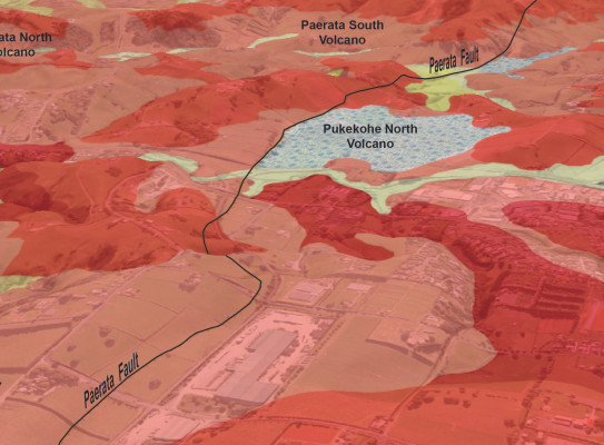
1:50,000 Geological Map of Pukekohe
Map

This resource contains 1:50 000 geological and geomorphological maps, and a 3D geological model of the South Auckland region.
This is the latest map released from the Urban Geological Mapping Project.
The Pukekohe Geological Map covers 830 square kilometres between the southern shoreline of Manukau Harbour and the lower Waikato River. The area, which includes Pukekohe, Waiuku, Pōkeno, and Papakura townships.
Use the link below to access the 1:50 000 geological map, a 1:50 000 geomorphological map and a 3D geological model as well as explanatory texts.