Web Map Services and Layers
Interactive web map

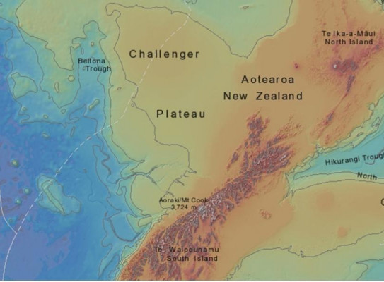
Web Map Services and Web Feature Services provide geoscience map information direct from GNS Science servers. These services comply with the Open Geospatial Consortium (OGC) standards and can be visualised with GIS or other map-enabled software (e.g. ArcGIS, MapInfo, QGIS or GoogleEarth) installed on the user's computer.
Find more content related to:
GNS Science topics
Locations
- Te Tai-o-Aorere / Tasman
- Rangitāhua / Kermadec Islands
- Rēkohu / Chatham Islands
- Rakiura / Stewart Island
- Murihiku / Southland
- Ōtepoti / Dunedin
- Ōtākou / Otago
- Ōtautahi / Christchurch
- Waitaha / Canterbury
- Kaikōura
- Te Tai Poutini / West Coast
- Te Tauihu-o-te-waka/ Marlborough
- Whakatū / Nelson
- Antarctica
- Te Whanga-nui-a-Tara / Wellington
- Manawatū-Whanganui
- Central Plateau
- Taranaki
- Te Matau-a-Māui / Hawke's Bay
- Te Tai Rāwhiti / Gisborne
- Te Moana-a-Toi / Bay of Plenty
- Waikato
- Tāmaki Makaurau / Auckland
- Te Tai Tokerau / Northland
- Aotearoa / New Zealand
- Pacific Islands