Deep ocean sensors give vital early information on tsunami

New Zealand’s network of deep ocean tsunami sensors demonstrated its value during the series of earthquakes and tsunamis off East Cape and at Raoul Island in early March.
On 5 March 2021 a complex sequence of three offshore magnitude 7-plus quakes each generated a tsunami that reached our coasts. The network of DART (Deep-ocean Assessment and Reporting of Tsunami) buoys was only partly complete at the time, but its data enabled more accurate estimation of the size, location and timing of tsunami arrivals that would not have been possible prior to their deployment.

The network also meant the National Emergency Management Agency was able to issue a tsunami warning cancellation sooner than would have been possible by relying on coastal tide gauges alone
“The March event was an excellent test of our tsunami monitoring systems. With every such event we learn and make advances. With each of these advances, New Zealand gets safer,”
In the deep ocean, tsunami waves travel at up to 800km/h, which means that a tsunami generated near Raoul Island, in the Kermadecs, will reach the New Zealand coast in about an hour.

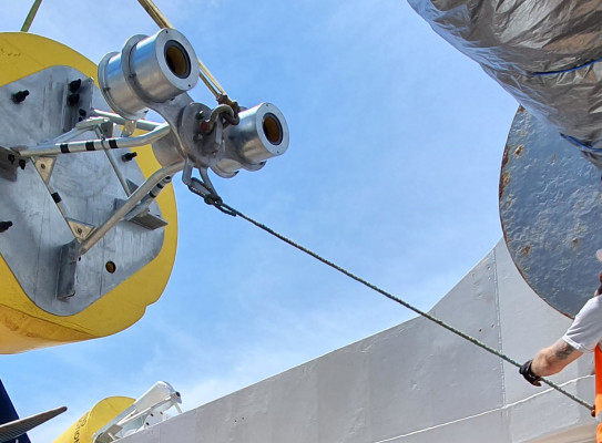
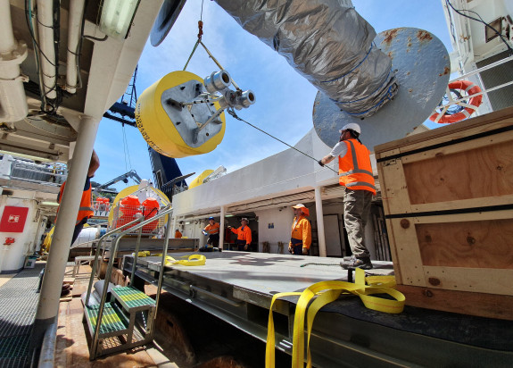
The project to deploy the new DART buoys, being led by GNS Science, NEMA, NIWA, MBIE and MFAT, represents the biggest single growth in tsunami monitoring in this part of the Pacific in decades.
“The network will provide improved safety to all countries bordering the Pacific Ocean, with much of the gain being realised by New Zealand and our closest neighbours,”
A big advantage of DART buoys is that they measure a tsunami in the open ocean far away from the complicating effects of coastlines and typically long before tsunami waves reach land.
Data streamed to us in near real-time
Data from the buoys is sent over satellite in near real-time to the Pacific Tsunami Warning Center in Hawaii and to GNS Science where specialists in the National Geohazards Monitoring Centre analyse it and determine what it means for New Zealand. They then provide advice to the National Emergency Management Agency, which issues advisories and warnings to the public.
DART buoys are the best current technology for confirming the generation of tsunami waves before they reach the coast. This is particularly important for earthquakes originating from the Kermadec trench that are unlikely to be strongly felt by communities on exposed New Zealand shores.
They can also detect tsunami generated by uncommon sources such as seafloor landslides or underwater volcanic eruptions, which are not always associated with large earthquakes. Significantly, they also tell us when no tsunami has been generated by an earthquake or other source.
Early confirmation of no threat means advice can be given so people need not evacuate. Equally, those who may have self-evacuated can be given the ‘all-clear’ to return home