International landslide collaboration aims to save lives and livelihoods

Mr Christopher Bazzy is heading home to Papua New Guinea after a three-week intensive landslide training programme, taking back critical knowledge to optimise his nation’s preparedness and response to landslides.
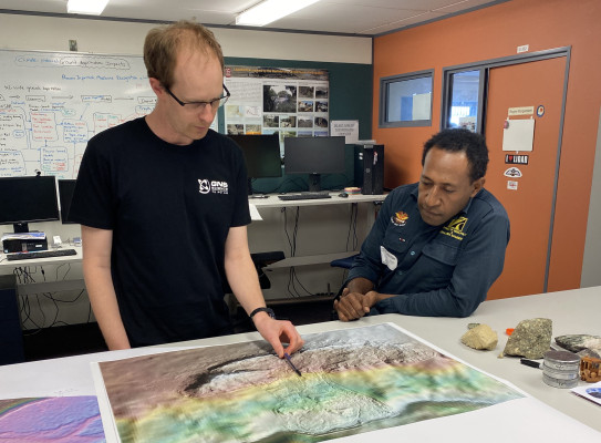
Starting with Fire and Emergency New Zealand, onto Aurecon and finally to GNS, Mr Christopher Bazzy, a Senior Engineering Geologist with the Papua New Guinea Department of Mineral Policy and Geohazards Management, spent time with our engineering geology team. All with the aim of taking home new knowledge and skills to optimise in-house drone and hazard mapping to further enhance Papua New Guinea’s preparedness and response to landslides following the devastating Enga Landslide in May.
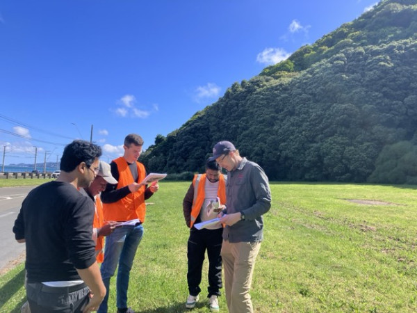
Four days in the office and a day in the field have enabled the GNS team to share critical science such as our landslide monitoring and response processes, geomorphological analysis and landslide susceptibility mapping, and methods of assessing landslide runout and hazard.
The recent trip to New Zealand, made possible through the Manaaki scholarships, will allow Mr Bazzy to take this knowledge home and share it with his peers.

The intensity of the training and knowledge to gain within just a few days is challenging, however the team have shared a wide range of new methods, right from basic to complex, which will allow me to make positive changes when I return to Papua New Guinea.
When asked about a highlight from the trip Mr Bazzy noted the importance of datasets for understanding land movement and slope stability.
“Datasets are essential – I’ve seen how the GNS team interpret footage from drone flights and use that to create 3D models and hazard models,” said Mr Bazzy.
Host Dr Kerry Leith, GNS Engineering Geologist, said the GNS team was also eager to learn from Christopher who had important local insights.
“An afternoon session investigating the Enga Landslide with Mr Bazzy, who has precious local knowledge of the region, was invaluable for the team to learn about the unique landscape in Papua New Guinea, which differs from New Zealand,” said Dr Leith.


The trip follows on from New Zealand assistance to the severe landslide that struck the Enga Province in Papua New Guinea on 24 May 2024. During this response GNS worked closely with MFAT, who were providing humanitarian assistance.
Our team of landslide experts were sought after – this saw the team funded by MFAT to support the Papua New Guinea national geohazards division response remotely from New Zealand.
Operating within the coordinated incident management system, the team used satellite imagery and photos from the landslide to help assess on ground conditions above the landslide and on and around the landslide debris. This information, along with landslide runout models, were used to produce landslide hazard maps to help with recovery efforts.
When asked what was next, Mr Bazzy said that with the strengthened relationships he expected lots of follow up conversations and that this trip was just the start.
“The support I've received so far is very much appreciated. Email and WhatsApp are great tools I'll use to stay connected with the team I have met here in New Zealand to check in, discuss and ask questions,” said Mr Bazzy.