New geological map reveals details of New Zealand’s largest gold producing region

The map, a collaboration between GNS Science, Otago University, and OceanaGold is now available.
Deeper insight into the Hyde-Macraes Shear Zone and Waihemo Fault Zone
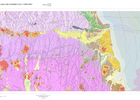
The recently released geological 1:50,000 scale map focusses on the trans-crustal Waihemo Fault Zone, the economically significant Hyde-Macraes Shear Zone and the western edge of the Canterbury Basin. Using more than 50,000 compass measurements, the project was able to create a map that is two-thirds onshore and one-third offshore, discovering that the major Earth structure of the Waihemo Fault Zone extends offshore more than 10km.
Using seismic and magnetic data, igneous rocks beneath the ocean and land surface have been interpreted. Seismic data has been used offshore to map out different sedimentary-rock ages. Old rock names have been updated to the more modern 2014 standard.
This previously unknown geology below the surface was mapped using a combination of techniques including compass readings, airborne geophysics, LiDAR, and seismic lines for the offshore component.
This new highly detailed map brings together nearly 50 years of history and knowledge, preserves it, and distils it down into an easily viewable and shareable image and is unique as an example of seamless offshore-onshore mapping.
“More than 50 years of science has been captured into a single map of New Zealand’s richest gold producing region. It is an exemplar collaboration between GNS, university and industry to understand faults, rocks, and gold formation in this important piece of New Zealand” said Dr Adam Martin, Senior Geologist, GNS Science.

There’s gold in those hills.
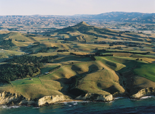
The Otago Gold rush peaked in the mid-1860s and attracted miners from around the world, leading to the discovery of multiple goldfields spread throughout the Central Otago region. The Hyde-Macraes Shear Zone was a hotspot for mining during this time and is now New Zealand’s largest gold producing region.
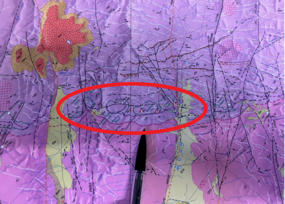
New interpretations in the geological map suggests that this major gold producing feature in the Hyde-Macraes Shear Zone pinches out before heading offshore, allowing for more focussed exploration in the inland area. One of the goals of this mapping project was to support more gold exploration in the area in order to contribute to the economic wellbeing of the region.
“At least two types of gold formation occur in the area. Historic mining 100 years ago targeted steeply dipping quartz veins which hosted gold. Modern-day mining targets the Hyde-Macraes Shear Zone that dips only shallowly, 10 to 20° to the northeast” said Dr Adam Martin. “Gold was emplaced when hot, hydrothermal waters flowed along this structure depositing gold along the shear zone some 135 million years ago. It is this shallowly dipping structure that has produced the majority of gold and understanding it better helps in the search for similar gold-producing features”.
The Macraes gold deposit is the largest active gold mine in New Zealand. Operated by OceanaGold since 1990, the open pit and underground mine has produced over 5 million ounces of gold, contributing to the local economy through employment, procurement, community investment and donations.
