

The Hikurangi subduction zone is one of the major plate boundaries in New Zealand its mostly focused in the North Island and it is where the Pacific plate is basically
diving down westward beneath the eastern part of the North Island.
The Hikurangi subduction zone is Aotearoa New Zealand's largest and most active fault running offshore from Gisborne down to the top of the South Island.
Recent science suggests the likelihood of a Hikurangi fault rupture may be higher than initially understood
We now know the Hikurangi subduction zone earthquake and tsunami has the potential to be similar to the tsunami in Japan in 2011
The reality is, it is not a matter of if, but when
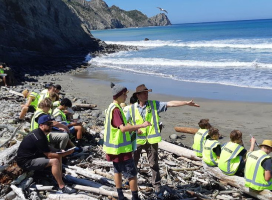
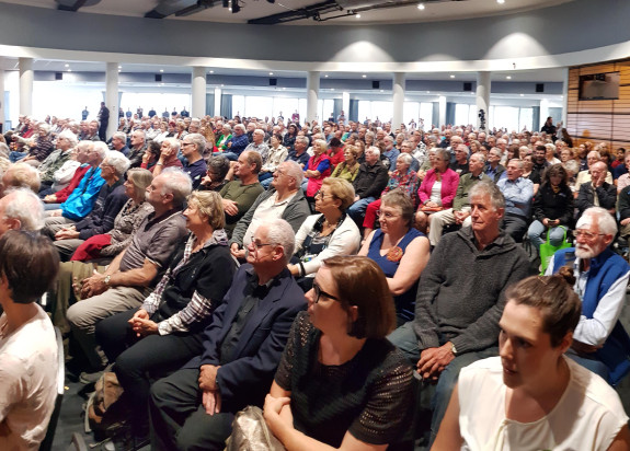
East Coast Life at the Boundary is a project that brings together scientists, emergency managers, and other experts from across the east coast to make it easy and exciting to learn more about natural hazards and how they can affect us
We're working together with Civil Defence, emergency services and many other organisations to develop and test the Hikurangi Response Plan. Matauranga Māori speaks of large tsunami and since written records Aotearoa New Zealand has been impacted by 10 tsunamis higher than five metres.
In 1947, Gisborne experienced a tsunami that was up to 10 metres high in some locations. So the Hikurangi subduction zone has actually generated earthquakes in the past the largest one in the historical records was in 1947.
There were actually two earthquakes generated on the subduction zone and March and May of 1947 offshore of Gisborne and these weren't particularly large in the scheme of things.
It was only about a magnitude 7.2 they weren't magnitude 8 or magnitude 9 but they did actually cause quite large tsunami for the size of the earthquake given what we would expect that size of earthquake to cause.
We know a large earthquake and tsunami is something we will face in our lifetime, or that of our children and grandchildren.
Emergency managers are planning for it, but how prepared are you?
Everyone must prepare, as we are all part of Civil Defence
What people really must do to be prepared for this is to make sure.
A) if there is a tsunami they know their evacuation route and they can get to higher ground very quickly
and then,
B) have a plan with their family to met back up with their families and make sure everyone in their family knows what to do in the event of an earthquake or tsunami
and,
C) make sure that they're prepared to survive at home with enough food and water until things get back on track.
All this may sound overwhelming, but we must all know what to do. Practice your drop, cover and hold, and tsunami hīkoi to high ground or inland by foot or bike.
We know practicing these two things works as it helped save over 95% of people’s lives in Japan in 2011 who safely evacuated in time. Remember, if it’s long or strong, get gone!
You can find out more about preparation and planning at www.happens.nz
You can check your tsunami evacuation zones on your local Civil Defence group website.