Scientists find several new active faults in Wairarapa
A GNS Science team has recently completed work to update Wairarapa’s known active faults, using advanced LiDAR (light detection and ranging) technology. Several ‘new’ faults that had not previously been identified have been included.
New Zealand is seismically active, and Wairarapa is situated in the Hikurangi Subduction Zone where the Pacific and Australian Plates collide. There are a multitude of faults that exist throughout the valley. It’s Our Fault is a programme of work across the Greater Wellington region, including Wairarapa, and it is dedicated to further study of these faults.
A revision of Wairarapa’s Combined District Plan needed the best available natural hazards information. Using LiDAR, scientists can map landscapes in high resolution, ‘seeing’ through forestation, 'removing' buildings and identifying earth structures that lie underneath.
Any fault that has been known to move within the past 125,000 years is described as active. During a large earthquake, surface ruptures may occur along active fault zones. Intense ground movement can result in deformation, caused when the opposite sides of the fault move past each other.
In an active fault mapping report recently provided to the three Wairarapa Councils, two GNS scientists from the It’s Our Fault team, Paleoseismologist, Genevieve Coffey and Earthquake Geologist, Nicola Litchfield, discuss the discovery of several new faults they have identified in the region using LiDAR.
We tend to call them ‘new’ faults, but of course they have been around for tens of thousands of years, they are just new to us.

“Knowing where active faults lie in our regions is important, particularly for town planning purposes,” Nicola said.
“Having the best information about local earth structures and being able to forecast where movement is likely to occur in a significant earthquake, means regions have the ability to plan better for hazard resilience.”
Some of the newly identified Wairarapa faults are southeast of Carterton crossing Carters Line, west and southeast of Greytown near Woodside and Pāpāwai, and a series of northeast-orientated faults lie to the north of Masterton, between the Masterton and Mokonui faults.
Gathering information about faults over large geographical areas is no quick process so, for this initial stage of the Wairarapa work, the GNS Science team has prioritised the most important faults and those near the valley’s towns.
Fault Avoidance Zones were developed for faults in the valley, which essentially include the setback zone that scientists recommend be applied in fault locations where structures and activity should be avoided.


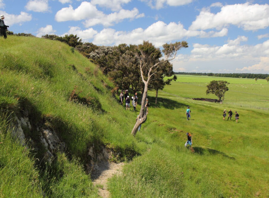
This week, Nicola and Genevieve will be back in Wairarapa collecting soil samples that will be analysed and used to date landforms that were offset by faults up to tens of thousands of years ago. To do this, they hammer tubes into the outcrops and collect sediments from selected sites and send them to a laboratory at Victoria University of Wellington for dating.
Further opportunities for Wairarapa include trenching to investigate soil strata ruptured by faults in past earthquakes.
“All of the information we can glean from the earth beneath our feet provides a snapshot of fault history, and helps us forecast what might happen in future,” Genevieve said.
“New Zealand is very familiar with natural hazards and their risks and impacts. We experience a lot of earthquakes, with some significant ones in our recent history.”

The more we know about our ground structures and fault zones, the better we can use that information to build resilience into our communities.